Our drones don’t just navigate the skies — they redefine them. Autonomy, precision, and innovation, lifting the world to new heights.
Access high-resolution 3D maps of remote or hazardous areas without field crews. Our autonomous drones navigate complex environments and collect precise spatial data, unlocking insights that traditional surveying methods can’t reach.
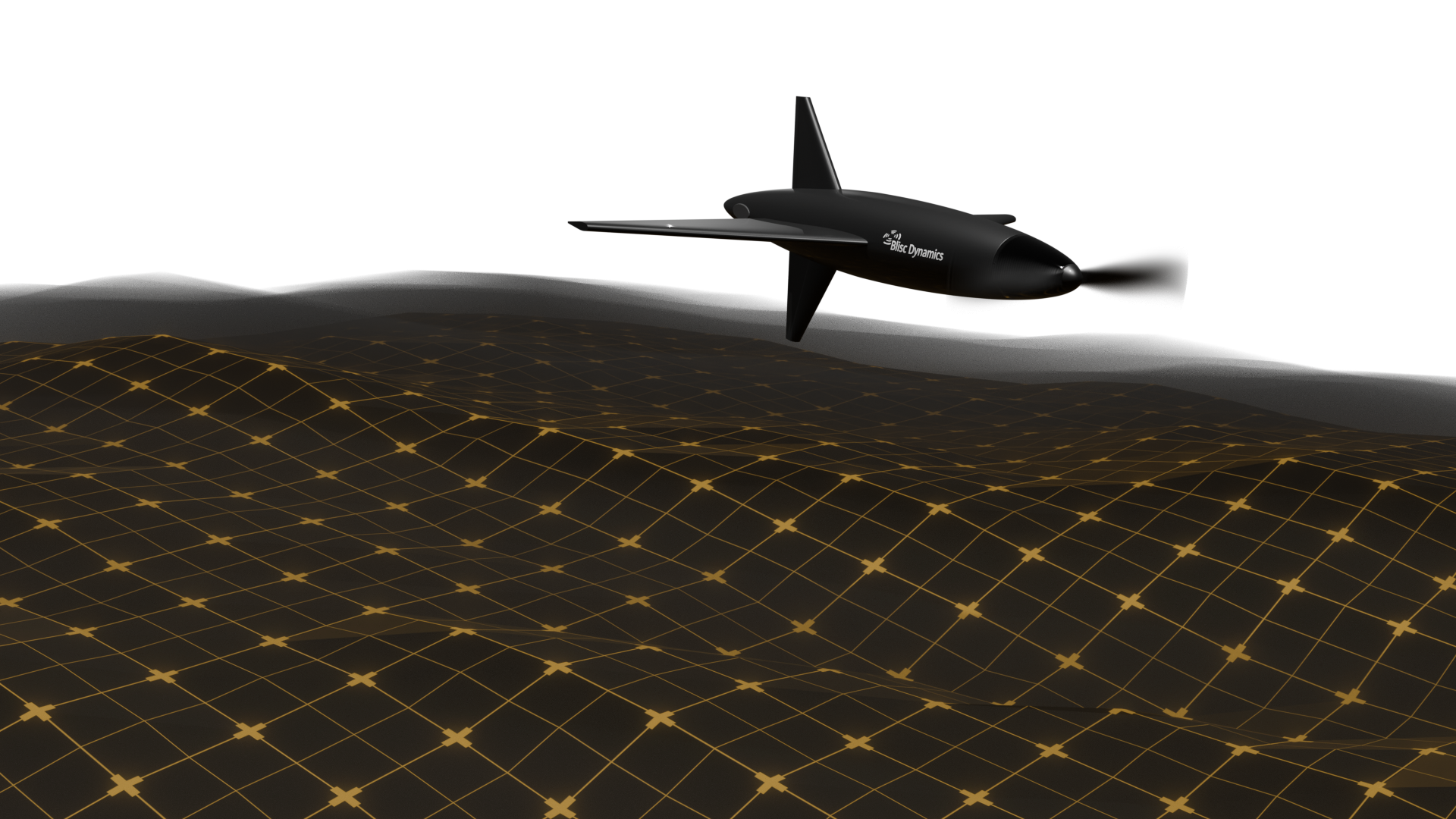
We integrate machine learning and computer vision to allow identifying targets, navigating terrain, and avoid obstacles. It learns from each mission to improve performance, ensuring smarter, faster, and more efficient operations.
The drone's autonomous capabilities enable quick deployment and immediate operational readiness, ensuring that it can be launched and controlled with minimal effort, even in high-pressure situations.
We combine LiDAR, multispectral imaging, and GNSS data to produce detailed, georeferenced maps. The result is a rich digital twin of your site, optimized for planning, monitoring, and decision-making.